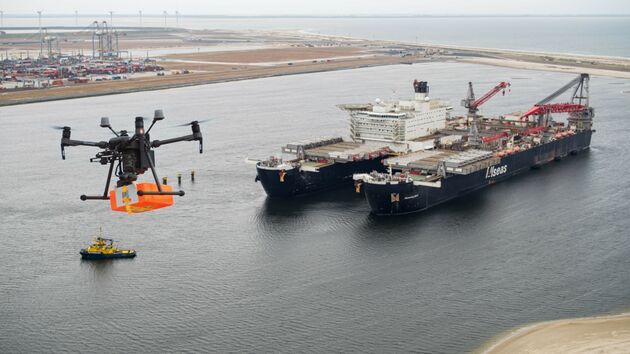
The Port of Rotterdam describes drones used for infrastructure inspections, stockpile measurement, construction monitoring and incident response. These applications demonstrate a role beyond promotional aerial footage: collecting information that can be compared over time.
Choose one crane or stockpile and define repeatable viewpoints or mapping boundaries. A useful inspection report links each finding to an asset, location and capture time, with a responsible person reviewing the result.
Evaluate image quality, weather limits, access restrictions and coordination with terminal operations before the flight. Measure the time to produce a useful report, rather than the number of images captured. Route permission and operating arrangements remain specific to the site.
Original sources
- Drones in the port of Rotterdam ↗ 2026-09-06
Source summaries and application analysis by COCON. Pilot ideas are proposals, not claims of completed COCON projects or confirmed product availability.
Could this work in your operation?
Share your workflow, location and target outcome. Start with a feasibility assessment, then validate the technology and define a pilot.
Discuss your project ↗ Email our team ↗